Home
About Us
Our Services
Agriculture
Aerial Mapping & Survey
Infrastructure
Geospatial Support
3D Virtual Tour
Training
Our Products
Satellite Images
Geo-Plantation
Geospatial Portal
LiDAR
Gallery
Career
Blog
Contact
Home
About Us
Our Services
Agriculture
Aerial Mapping & Survey
Infrastructure
Geospatial Support
3D Virtual Tour
Training
Our Products
Satellite Images
Geo-Plantation
Geospatial Portal
LiDAR
Gallery
Career
Blog
Contact
Search
Search
Home
About Us
Our Services
Agriculture
Aerial Mapping & Survey
Infrastructure
Geospatial Support
3D Virtual Tour
Training
Our Products
Satellite Images
Geo-Plantation
Geospatial Portal
LiDAR
Gallery
Career
Blog
Contact
Home
About Us
Our Services
Agriculture
Aerial Mapping & Survey
Infrastructure
Geospatial Support
3D Virtual Tour
Training
Our Products
Satellite Images
Geo-Plantation
Geospatial Portal
LiDAR
Gallery
Career
Blog
Contact
Search
Our Products
Contact Us
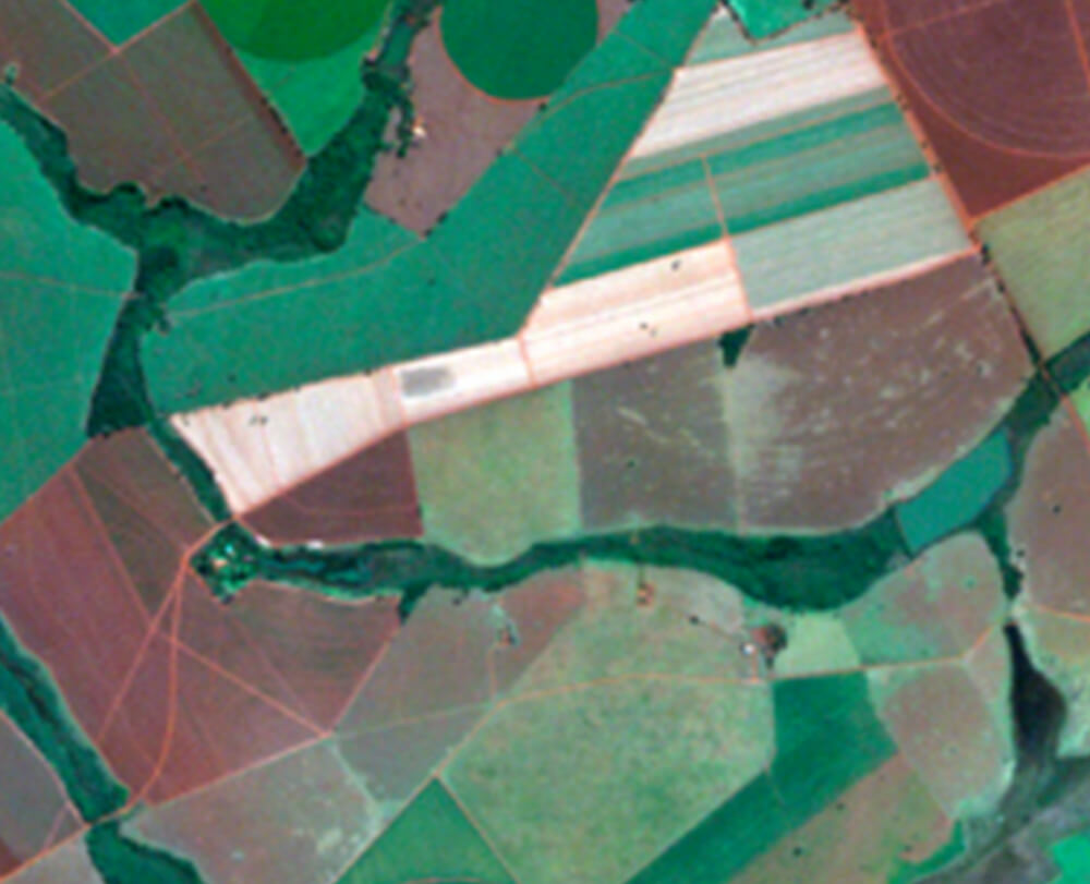
Satellite Images
As an authorized reseller for world’s largest satellite images provider, we offer the newest generation of satellite imagery and value-added geospatial products.
More Info
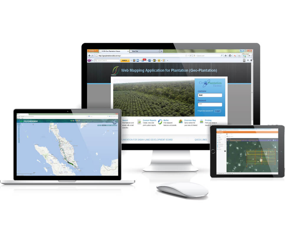
Geo-Plantation
Enables plantation manager to display and analyze information relevant to their plantation.
More Info
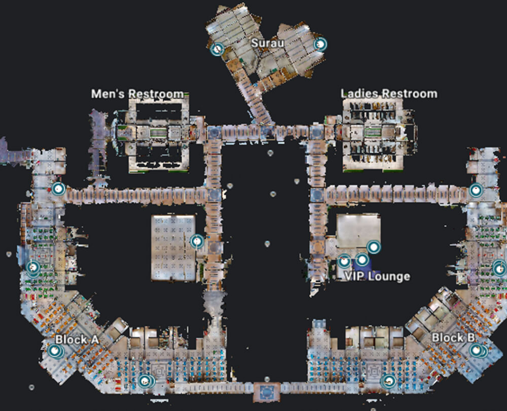
Geospatial Portal
Geospatial Portal gives you a comprehensive set of Geospatial features to speed up business processes, improve effectiveness and productivity.
More Info
LiDAR
LiDAR has revolutionized the acquisition of digital elevation data for large-scale mapping applications.
More Info
Contact Us