Training Service
GIS Training
Choosing a training programme to participate in might be a difficult task. MySpatial GIS training path are meant to assist you in choose which GIS training course is best for you, whether you’re trying to acquire basic skills or specialise in a specific Geospatial domain. In comparison to other courses, this training offers straightforward and organised information for grasping the fundamentals of GIS. The training program is well-organized. You will learn the differences between vector and raster datasets, how to make attribute and spatial selections, how to create vector datasets, how to change the coordinate system, how to operate with raster and vector tools, how to calculate slope and aspect of a terrain, how to apply various interpolation methods, how to put legend and other map elements for your final output, and much more.
Remote Sensing Training
This course introduces remote sensing, which is the process of collecting information about the earth from afar using airborne and spaceborne sensors. We can solve many critical environmental, topographical, and geological challenges thanks to the wealth of earth observation data. This course will teach you the fundamentals of remote sensing data. You will get a thorough grasp of remote sensing’s basic principles, including electromagnetic (EM) radiation ideas, as well as the interaction of EM radiation with the atmosphere, water, plant, minerals, and other land types from a remote sensing standpoint. Agriculture, geology, mining, hydrology, forestry, environmental, and other areas where remote sensing may be applied will be covered. Passive sensors, synthetic aperture radar, and LiDAR are among the current satellite sensor systems for remote sensing analyses that you will learn about. You will learn the precise methods for pre-processing images, including radiometric and atmospheric correction techniques, in addition to understanding the essential ideas, vocabulary, and theories in remote sensing research and application. Finally, we’ll look at how to analyse spectral features from various materials and how to develop their own fundamental equation for future projects involving remote sensing data.
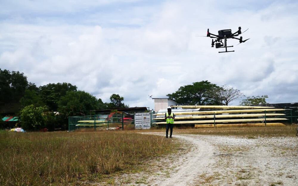
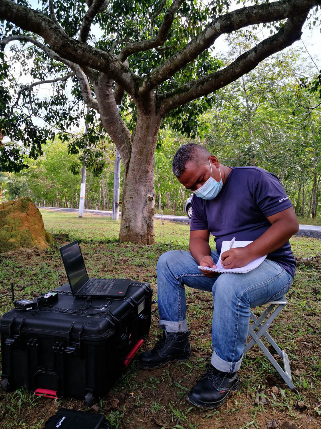
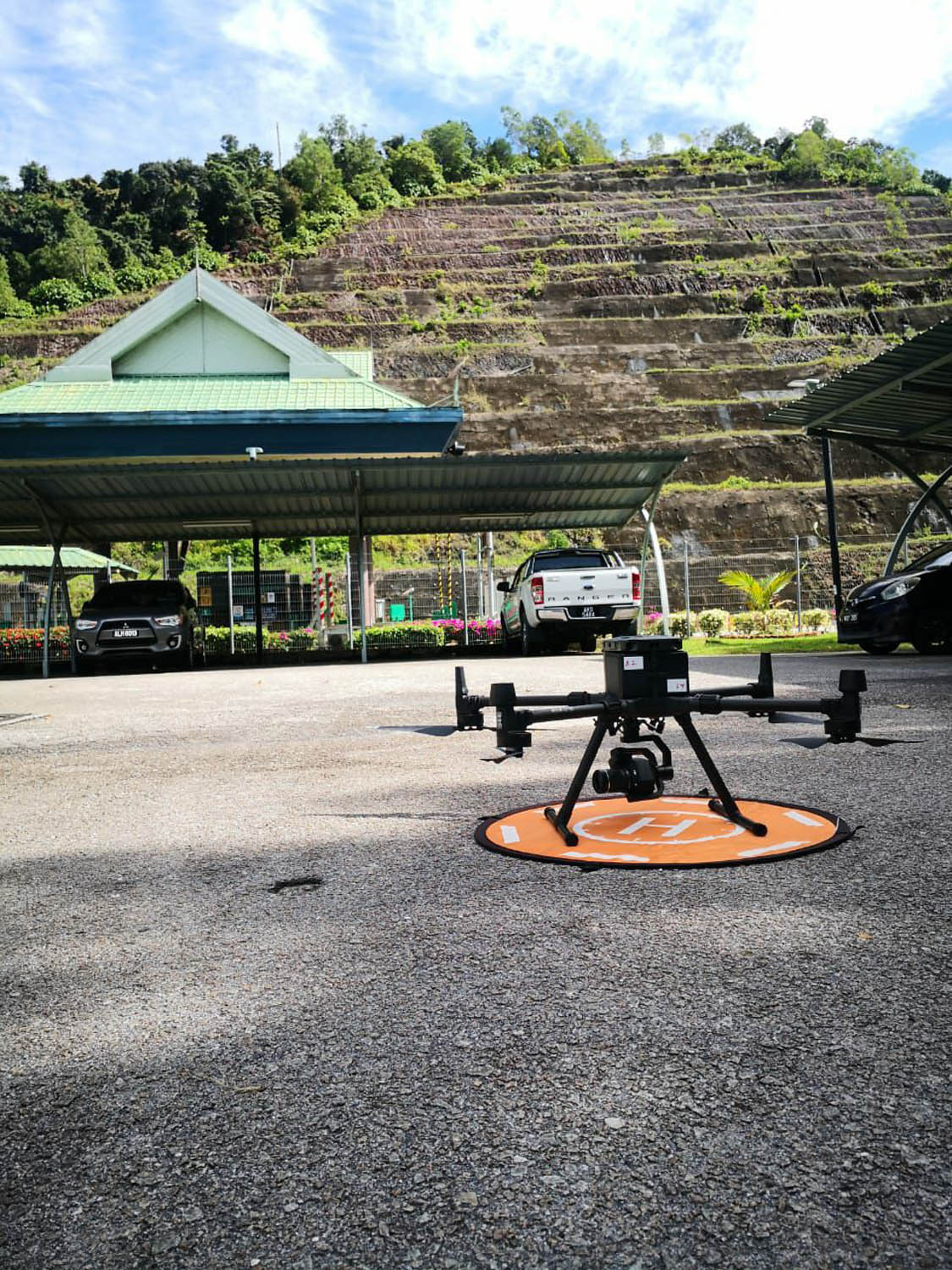
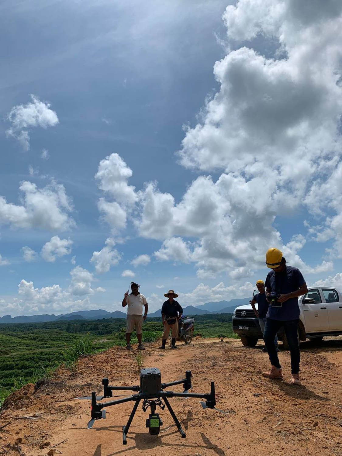
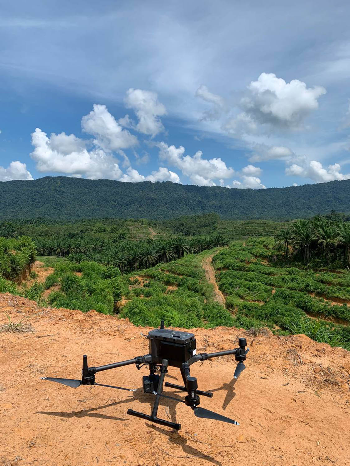
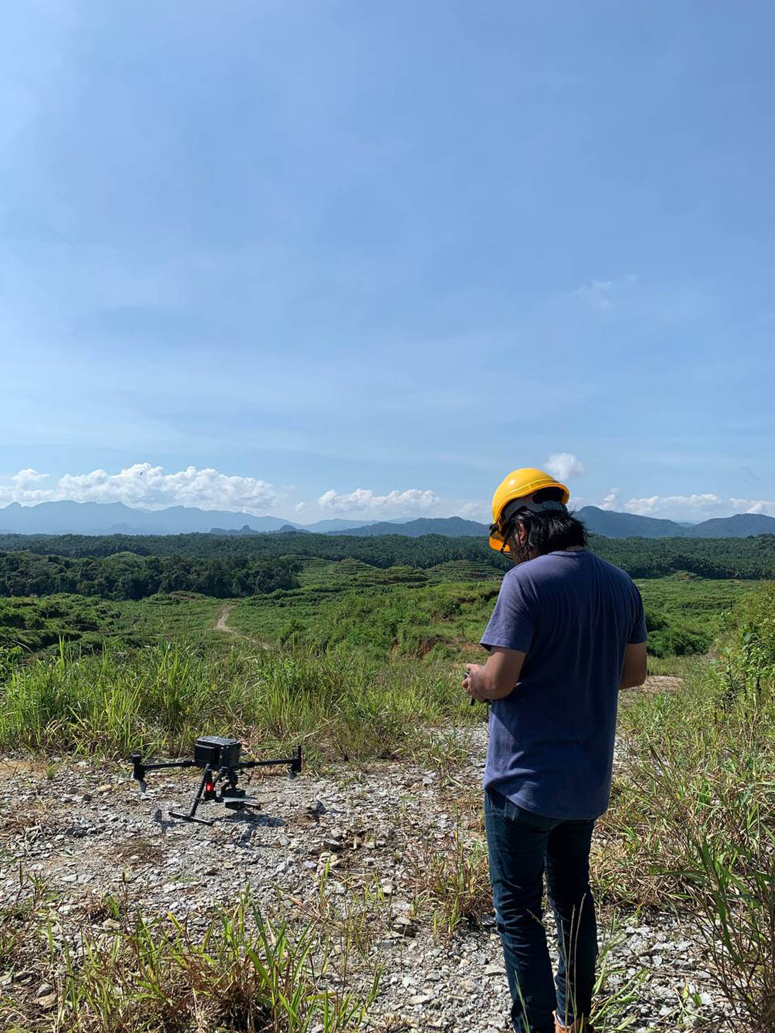
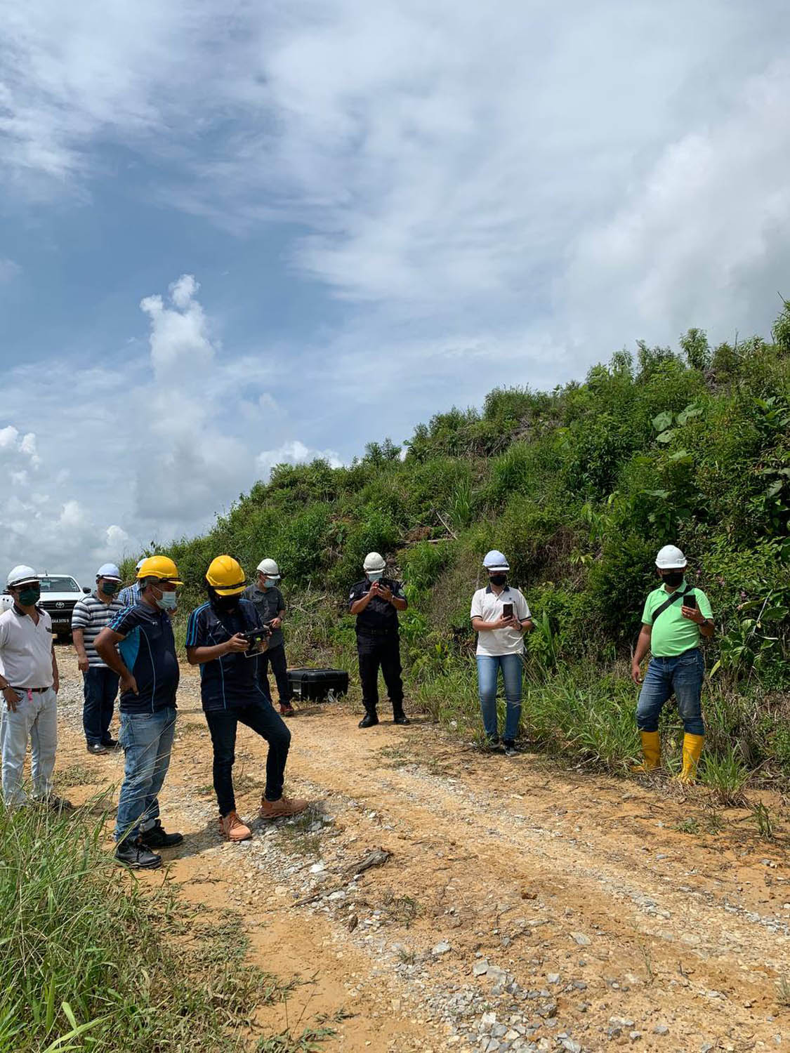
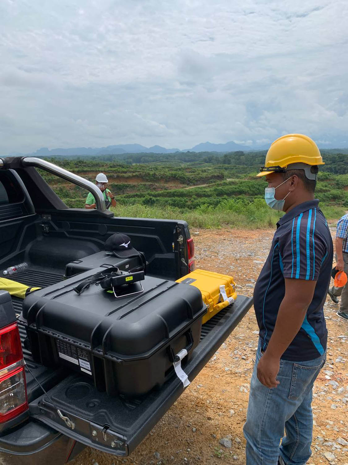
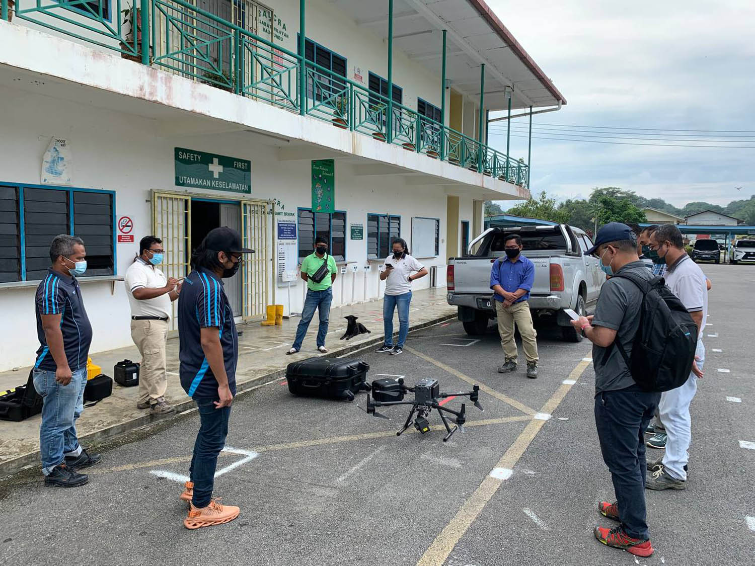
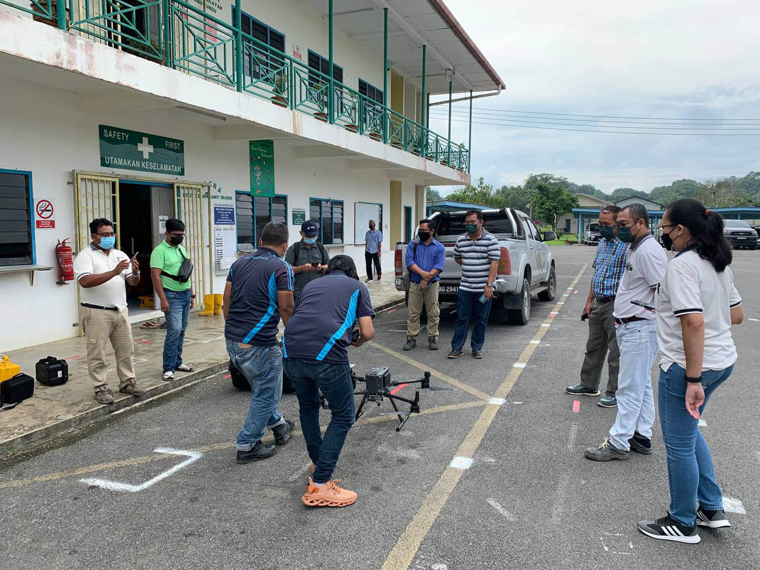
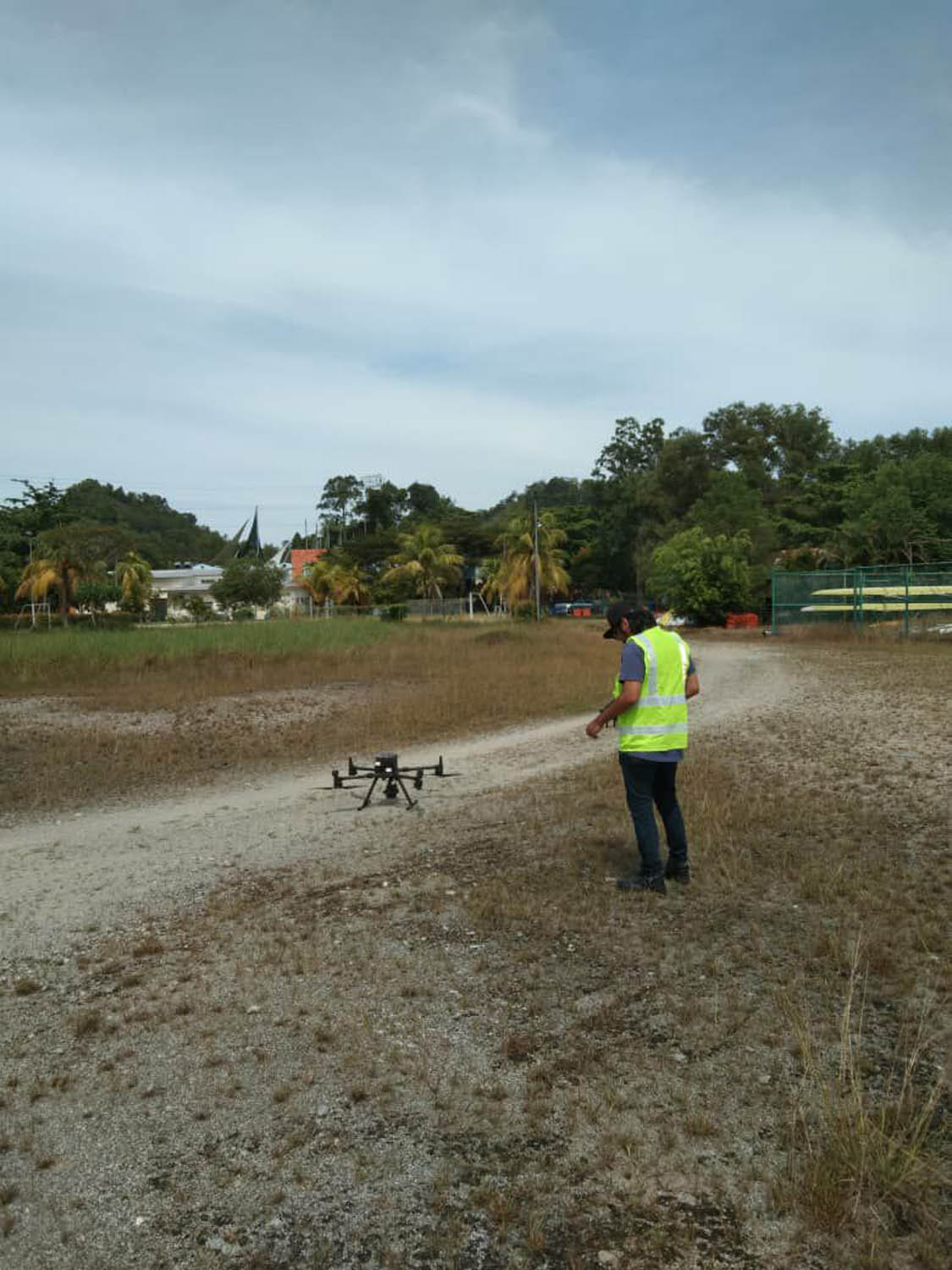
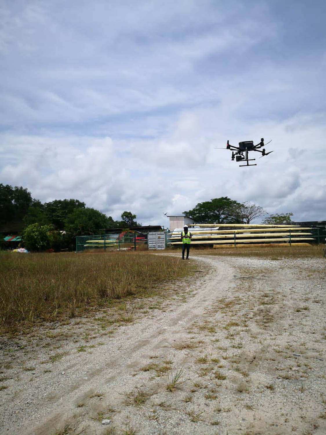
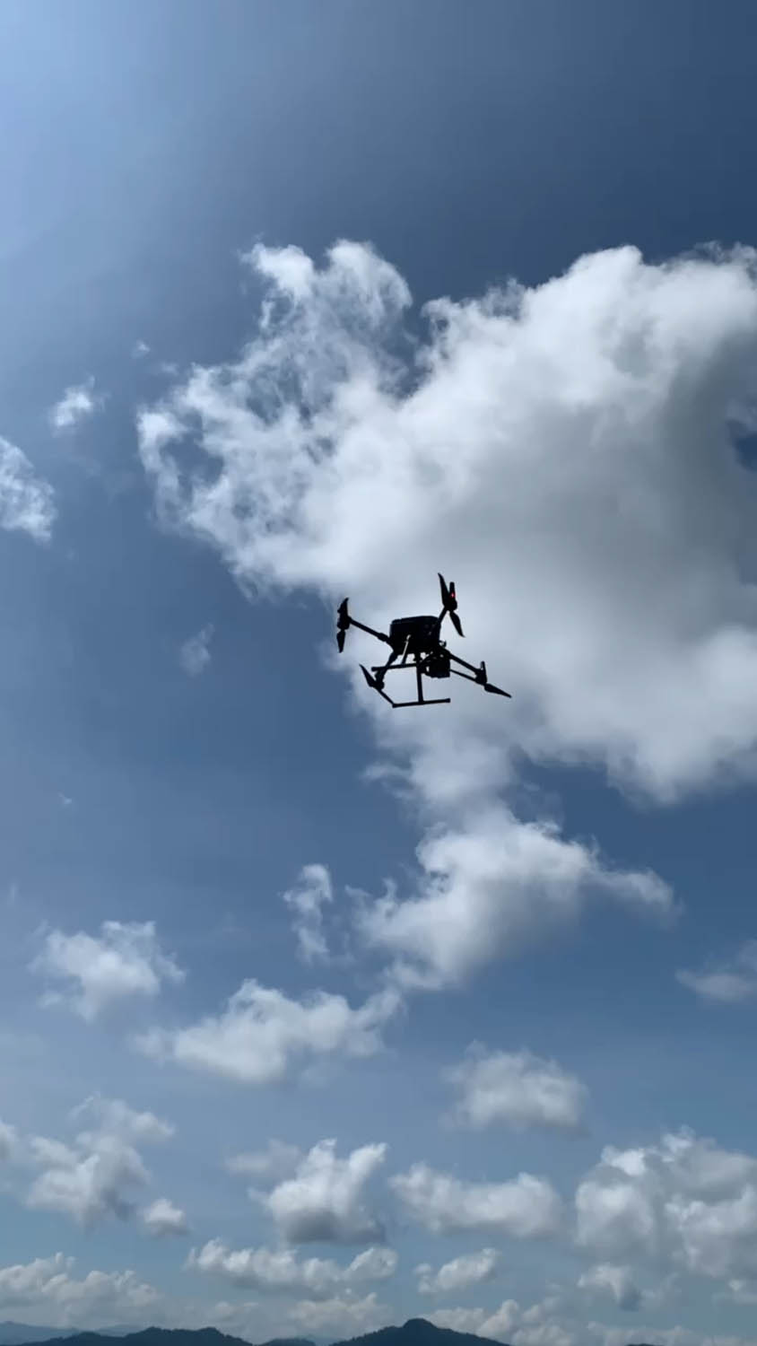
Drone/UAV Training
MySpatial provides professional drone training programmes for pilots to help them gain the skills required for certain operations, while also guaranteeing that corporations realise their goals when investing in drone technology. MySpatial drone training programmes are demanding, incorporating a comprehensive formal curriculum, extensive scenario-based practise, and evaluation evaluations to solidify learning. Our programmes are adaptable that include professional in-person hands-on training, scenario-based training, and industry-specific advanced drones training in areas such as aerial mapping and surveying, agricultural spraying and asset inspections Through intensive pilot training, standard operating procedures creation, programme management, and technological consultation, we assist organisations in safely and successfully implementing drone projects.