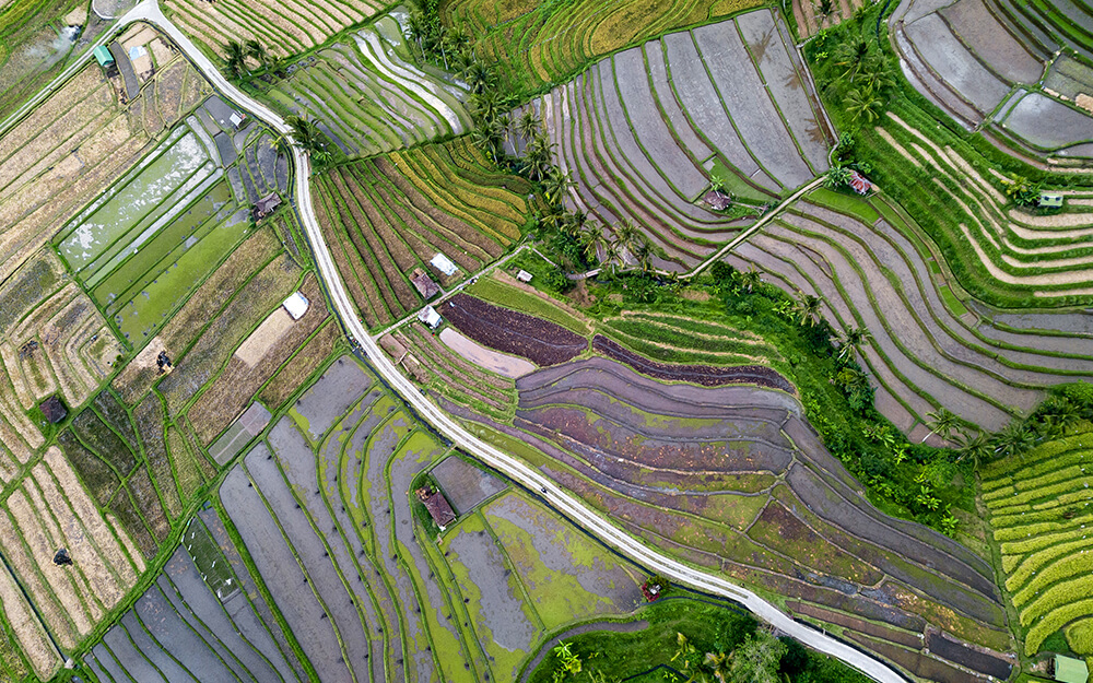
logo-myspatial

LiDAR

LiDAR has revolutionized the acquisition of digital elevation data for large-scale mapping applications.

Airborne LiDAR

Light Detection and Ranging (LiDAR) is a proven approach to creating fast and accurate terrain models for applications in many types of industries. LiDAR has revolutionized the acquisition of digital elevation data for large-scale mapping applications as organizations, both public and private, endeavor to utilize the most accurate terrain information for their decision-making processes. The technology is based on a scanning laser combined with both GPS and inertial technology to create a three dimensional set of points (point cloud). Explore more about GIS company in Malaysia.

For data acquisition, Airborne LiDAR is mounted on a helicopter or fixed wing. Airborne LiDAR emits light towards the ground surface as soon as it is activated, which returns to the sensor immediately after hitting the object, providing an exact distance measurement. MySpatial provides these highly technical data acquisition services to clients for a variety of applications including:

Drone LiDAR

Drone LiDAR uses cost-effective Drones or Unmanned Aerial Vehicles (UAV) to capture LiDAR data in hard-to-reach areas of 10 to 1,000 hectares. Due to the tremendous reduction in the size and weight of LiDAR sensors, this technology has only recently been available. When compared to conventional survey methods, this method of data collection is appropriate for places where photogrammetry is not feasible due to vegetation cover. Topography mapping, mine mapping, volume surveys, hydraulic modelling, and linear infrastructure design are examples of typical applications. With a vertical elevation precision of 3–10 cm, the point cloud generated by drone-based LiDAR can give 100–300 points per square metre. Contact us for more information about geospatial in Malaysia.

Drone LiDAR precisely measures the location of vegetation, its density, and the topography of the ground beneath it. It can create 3D representations of man-made structures such as buildings, bridges, and even clearly defined architectural facades. The following are some of the most common application cases from various industries:

Agriculture

Create elevation maps to identify locations where terracing, drainage and agriculture road needs to be improved. Create 3D models of crops to track drought stress at various phases of development and optimise water consumption.
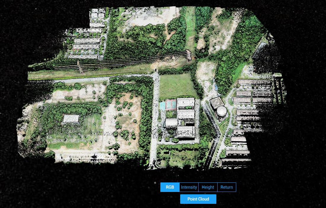
Constrcution

By capturing the exact precision of the ground, soil excavation, buildings, and existing structures, we can capture as-built information and streamline planning and design.
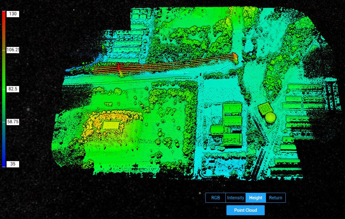
Utilities

nalyze and measure changes in ground elevation and their impact on field assets including transmission line, substations, telco towers, and etc

Local Authority / Municipality

Flood modelling by utilising hydro-conditioned, flattened, and enforced bare earth topography models.

Insurance

By precisely measuring risk factors during underwriting, we can provide customized flood insurance and property insurance quotations.