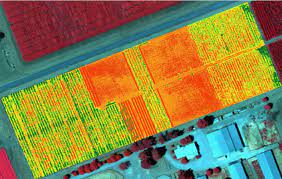
Multispectral Imaging in Geospatial Applications
Multispectral imaging is rapidly becoming a game-changer in the geospatial world, providing us with a unique ability to see beyond what the human eye can

Multispectral imaging is rapidly becoming a game-changer in the geospatial world, providing us with a unique ability to see beyond what the human eye can
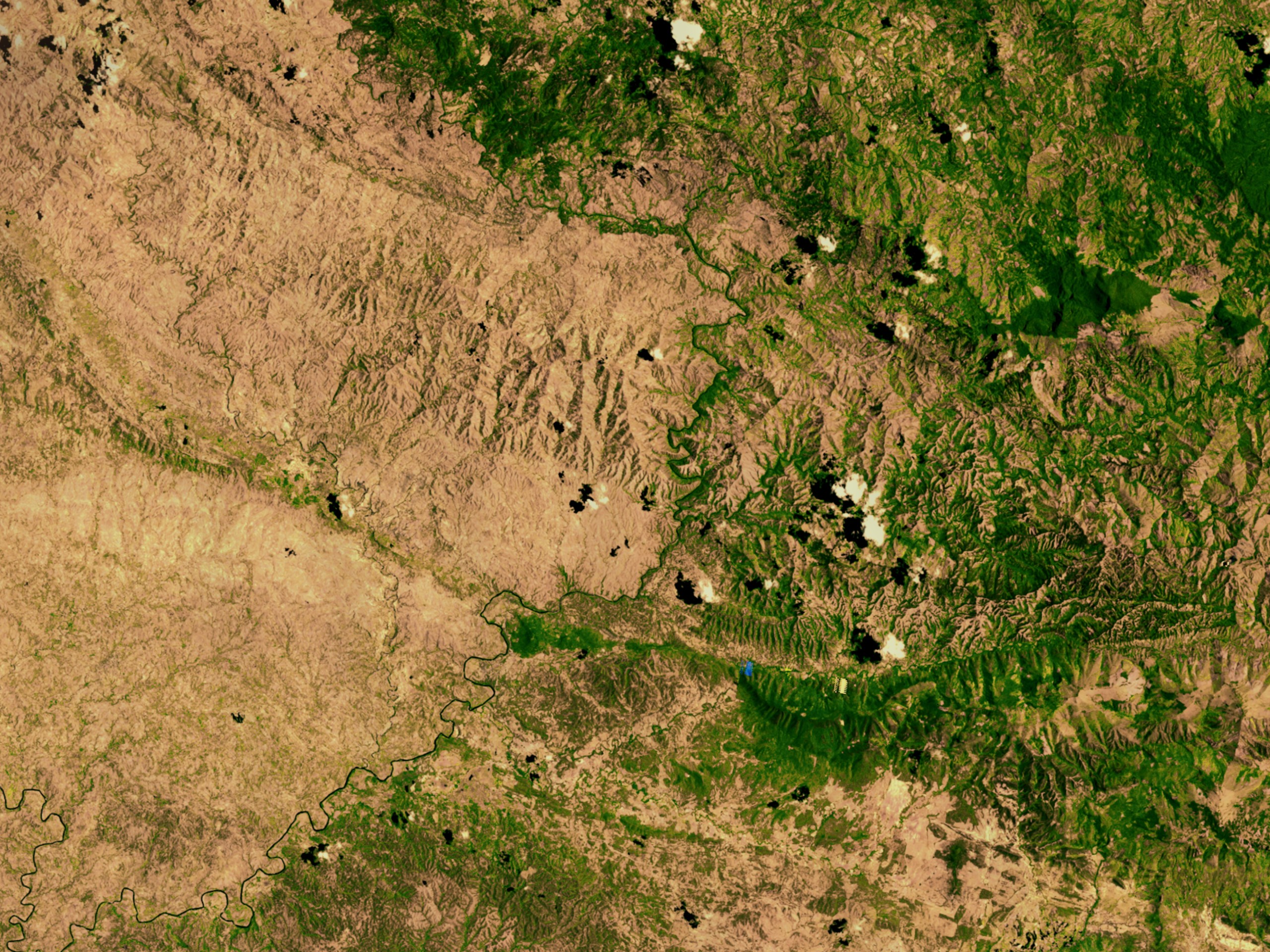
Satellite imagery has become a vital tool in the field of geospatial technology, revolutionizing how we understand and interact with the world around us. From
LiDAR, which stands for Light Detection and Ranging, is a remote sensing technology that uses laser light to measure distances. It’s a powerful tool for
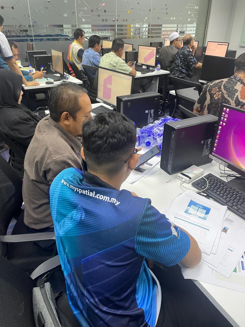
In today’s fast-paced world, Information and Communication Technology (ICT) has become an integral part of various industries. Among these, geospatial solutions have significantly benefited from
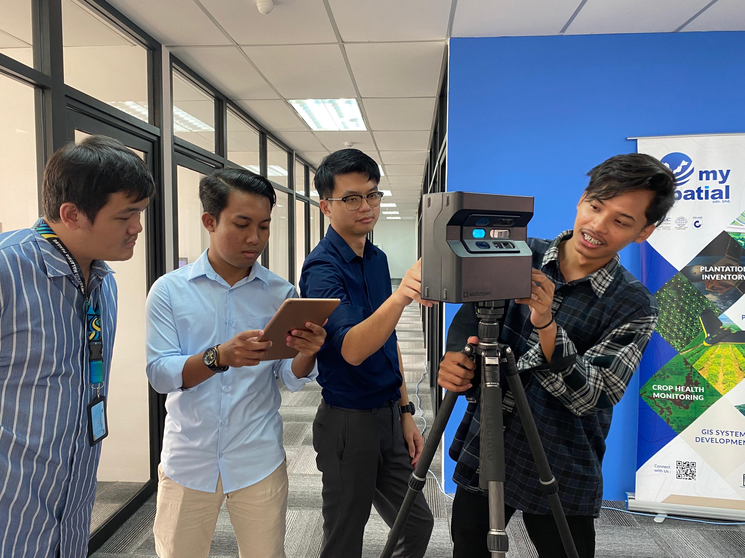
In today’s digital age, businesses are constantly seeking innovative ways to stand out and connect with their audience. One groundbreaking technology that has revolutionized the
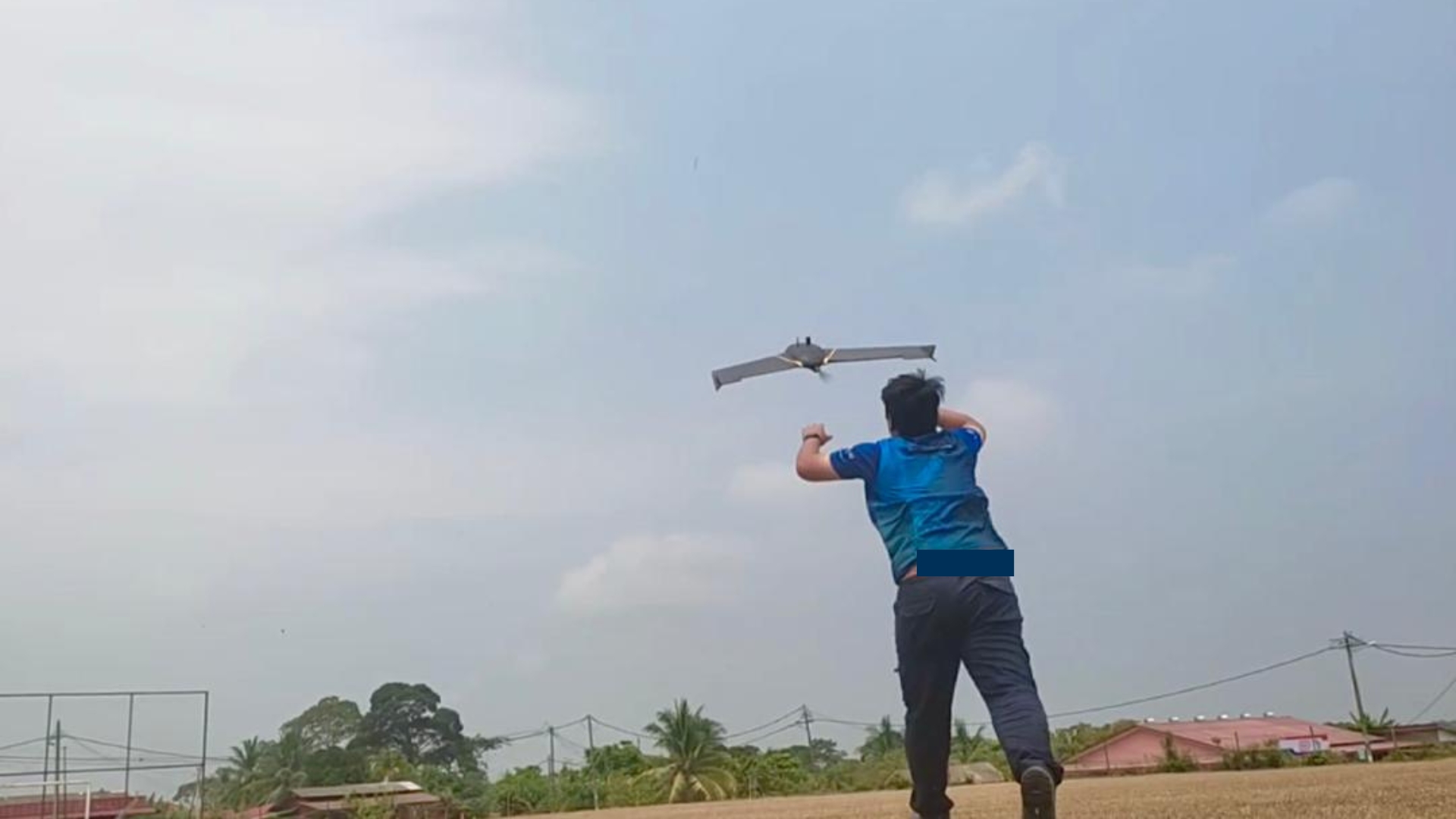
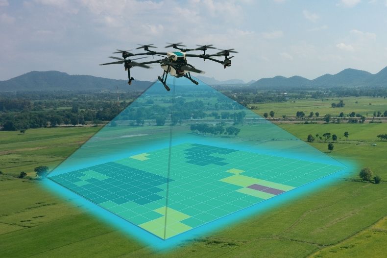
In the vast realm of digital mapping, there exists a technological marvel that is reshaping the landscape of precision and efficiency: UAV mapping with drones.
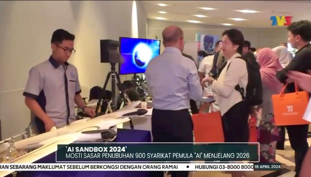
In recent years, the convergence of drone technology and artificial intelligence has revolutionized various industries, particularly in agriculture and forestry. One of the significant applications
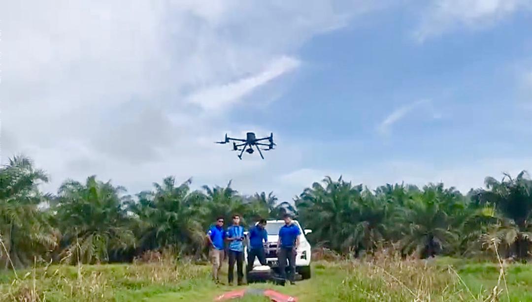
In recent years, the agricultural sector has witnessed a significant transformation through the integration of cutting-edge technologies. Among these, Lidar (Light Detection and Ranging) stands
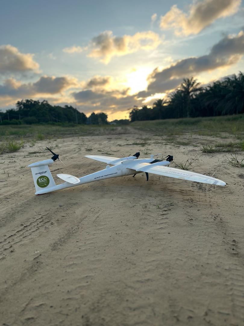
In the realm of drone mapping, where precision and accuracy are paramount, drone pilots take on the responsibility of capturing the world from above with
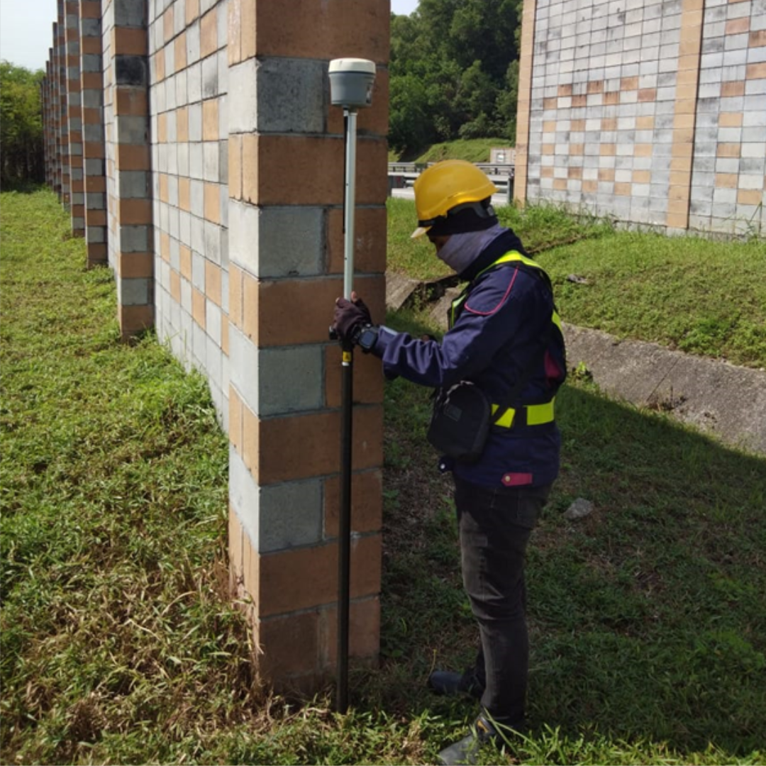
Ground surveying is the process of collecting data and measurements about the Earth’s surface and features using specialized instruments and techniques. It involves precise measurement